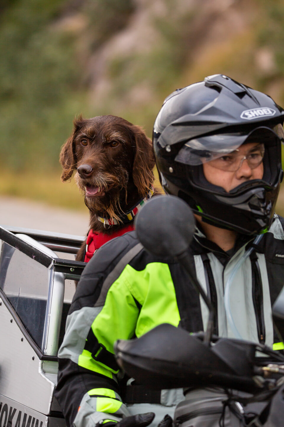
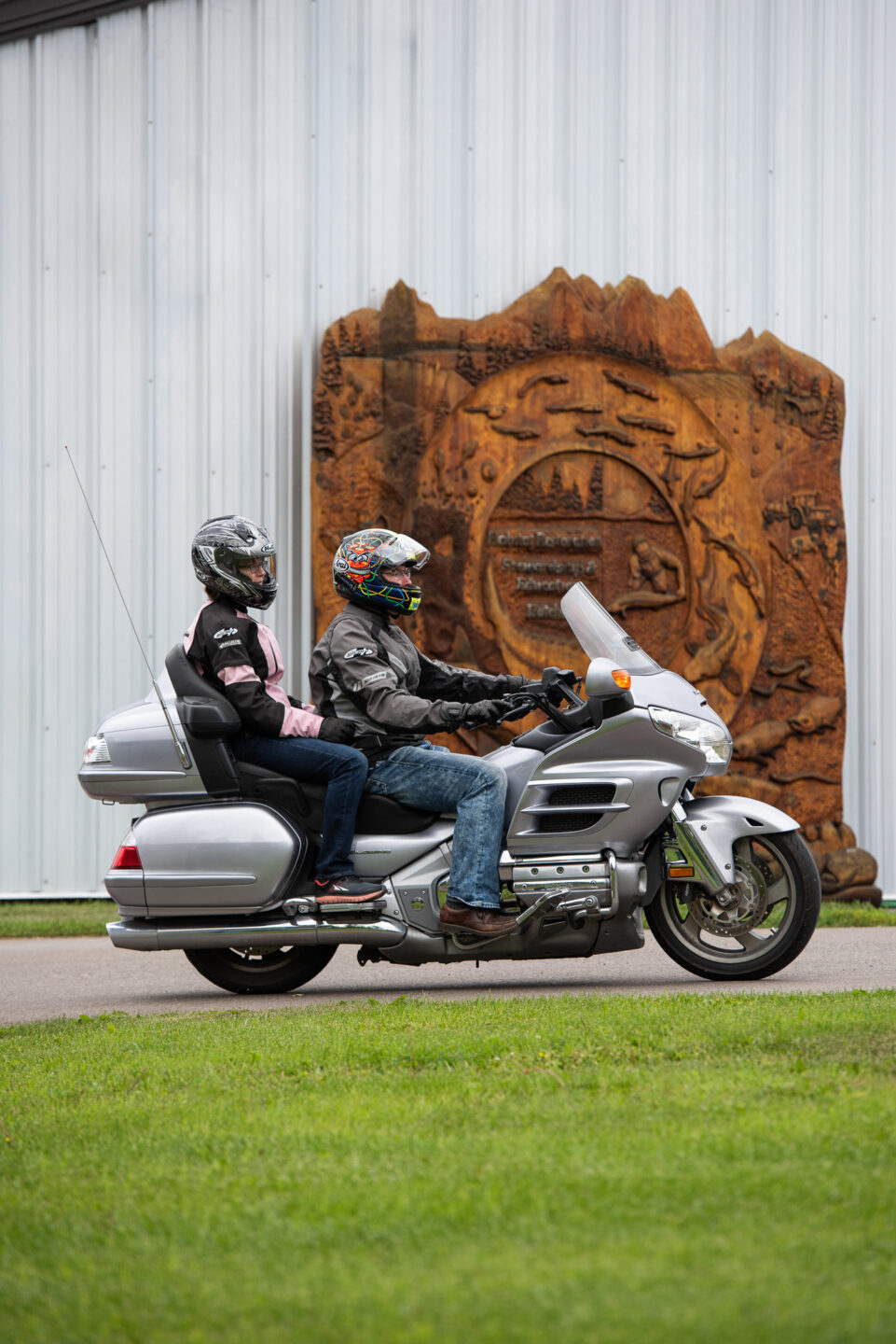
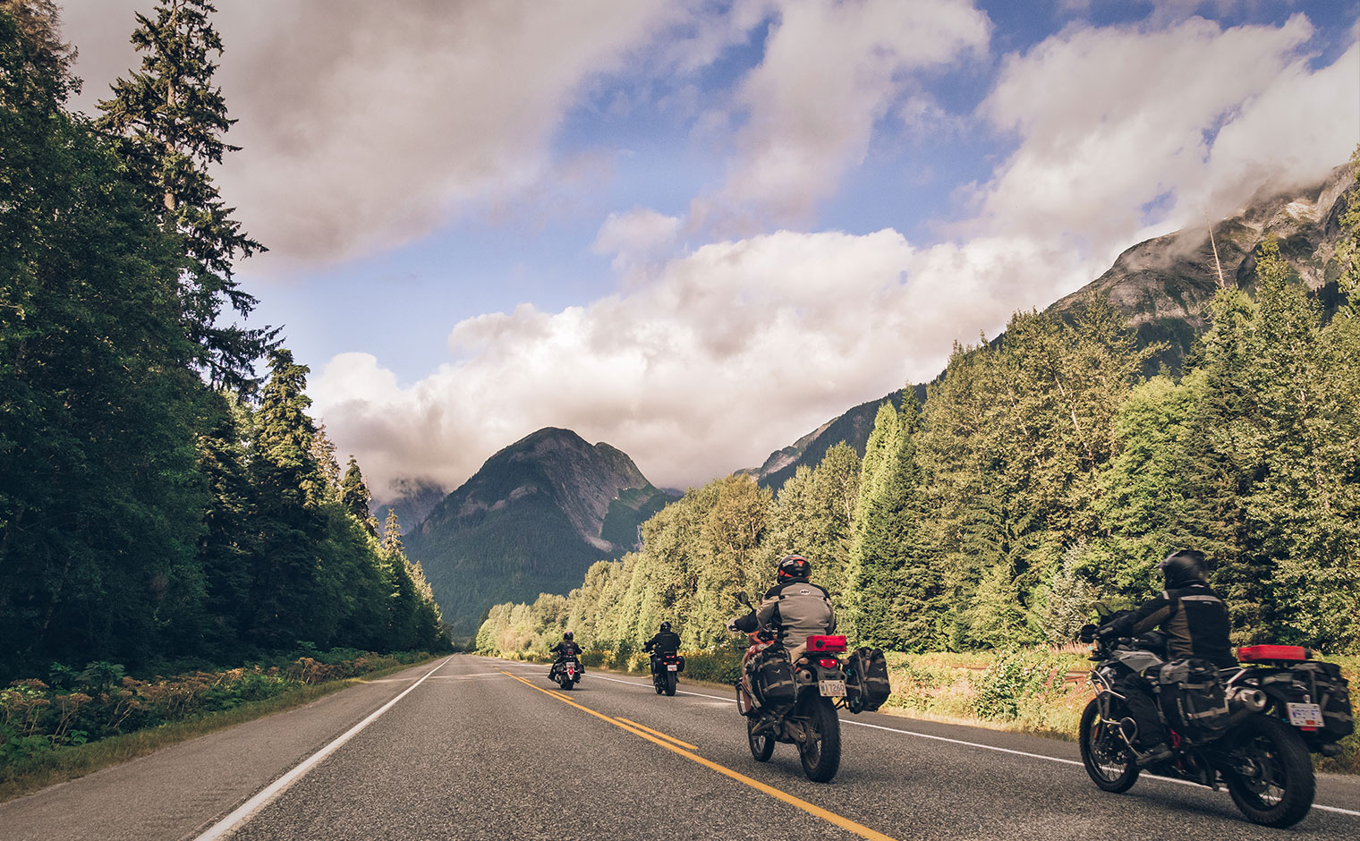
Nestled in the fertile Nechako Valley on the banks of the Nechako River, in the traditional territory of the Saik’uz First Nation, Vanderhoof features rolling agricultural hills with nearby forests and waterways and impressive scenery. Hundreds of hiking trails adorn the landscape.
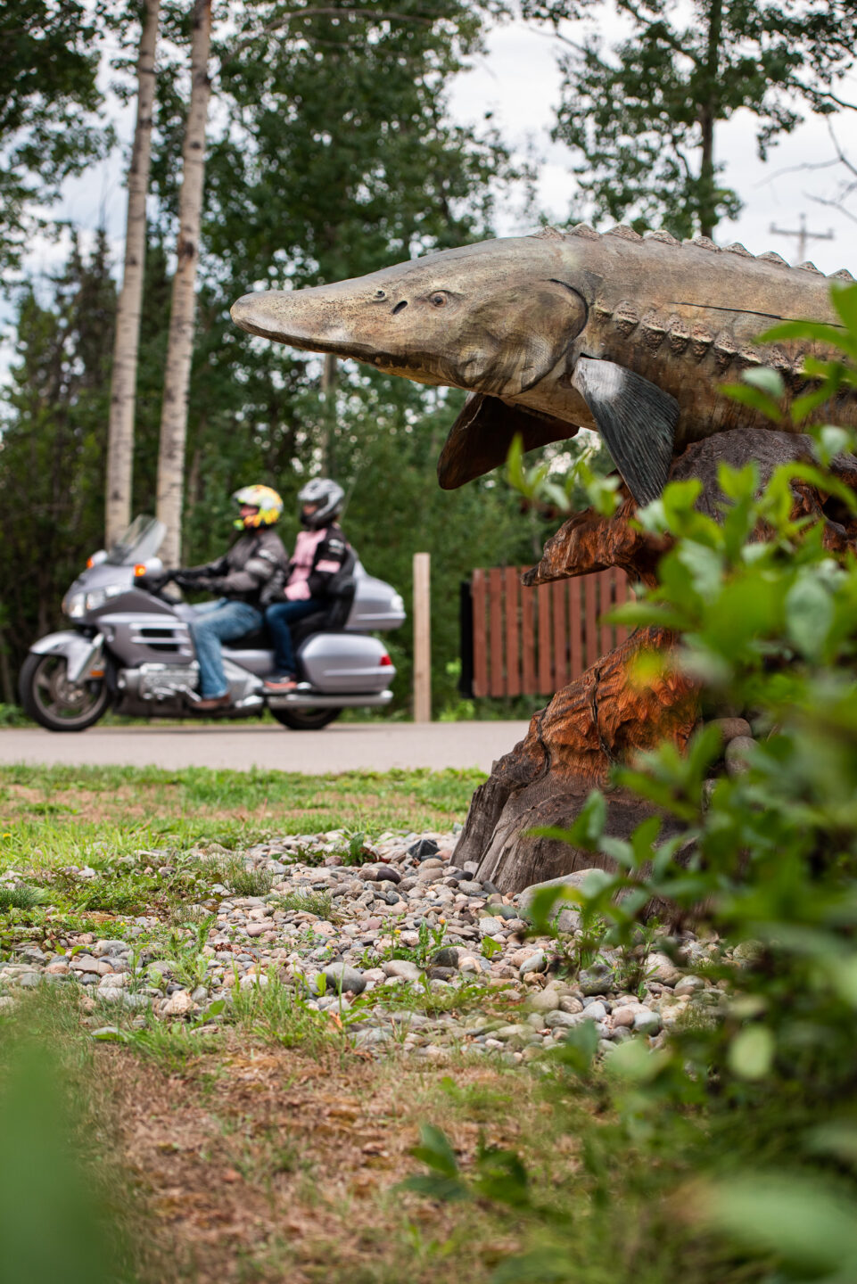
Visit the White Sturgeon Conservation Centre for a tour to learn about these ancient dinosaurs and efforts to protect them. Don’t miss the Vanderhoof Community Museum located right on Highway 16 – step back in time and take a guided tour (May-September) to learn how the community was shaped.
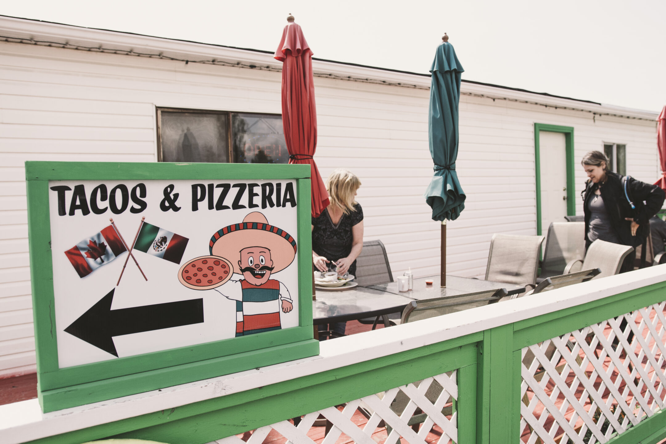
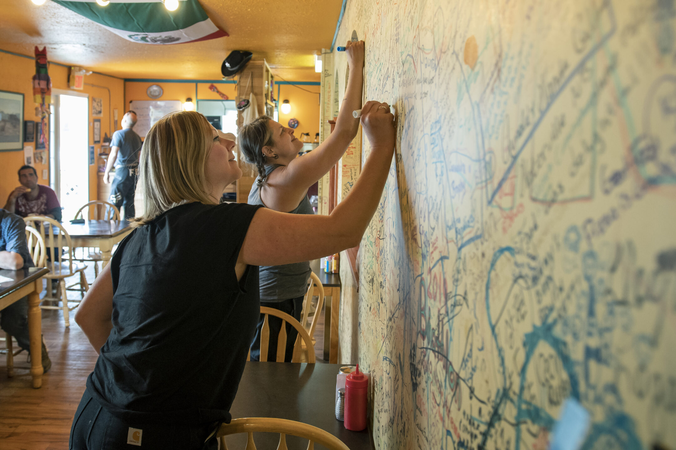
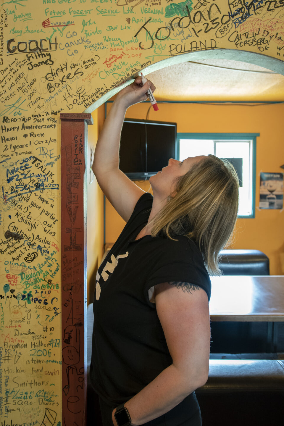
Not far from Vanderhoof you’ll find a smaller community, Fraser Lake, which shares much of the amazing terrain in the Nechako Valley and also features Senor Duggies, a secret local jewel.
Just south of Vanderhoof you’ll find “Big River Country”, a network of wilderness that focuses on the area’s rivers and wetlands. This region covers a largely unpopulated wilderness area of 22,500 square km from Vanderhoof to Tweedsmuir Park. The area is a dream, featuring some of the best freshwater fishing in Canada. It’s ideal for wildlife viewing, hunting, and more.
Side Route Alert | Fort St. James (North via Hwy 27)
The community of Fort St. James is located on the shores of beautiful Stuart Lake, 67 km north of Vanderhoof on Highway 27. Situated on the traditional territory of the Nak’azdli Whut’en, Fort St. James is one of the oldest settlements in BC. This Side Route stop is full of history and adventure.
 Know Before You Go
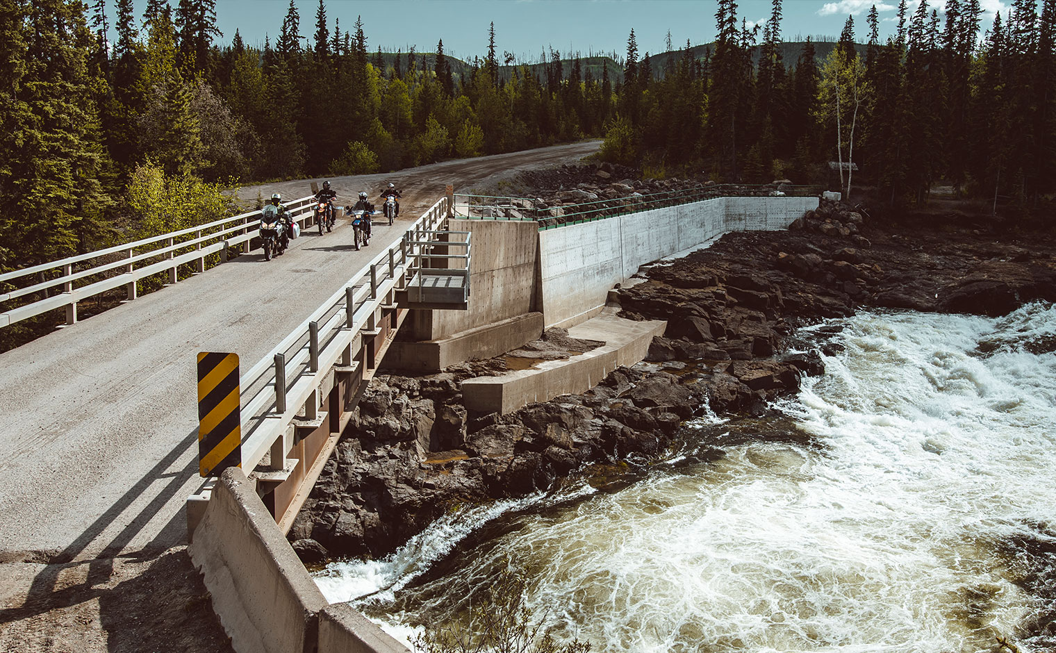 Prince George to Cheslatta Falls
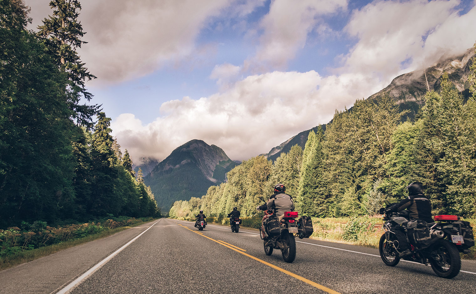 Finding Nature in Northern BC – HelloBC
 5 Reasons to Ride BC’s Highway 16
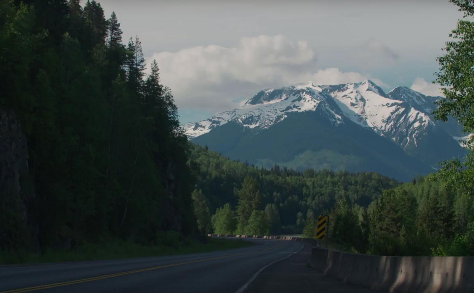 16 Days, 5954 Kms – Coyote Broad