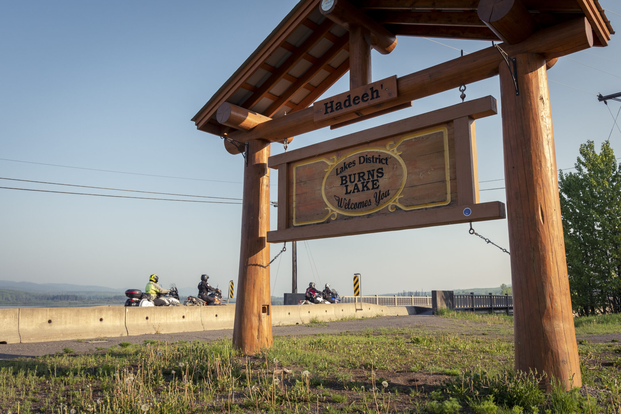
Burns Lake is located on the traditional territory of 6 First Nations: Skin Tyee Nation, Nee Tahi Buhn, Cheslatta Carrier Nation, Lake Babine Nation, Wet’suwet’en First Nation, and Ts’il Kaz Koh.
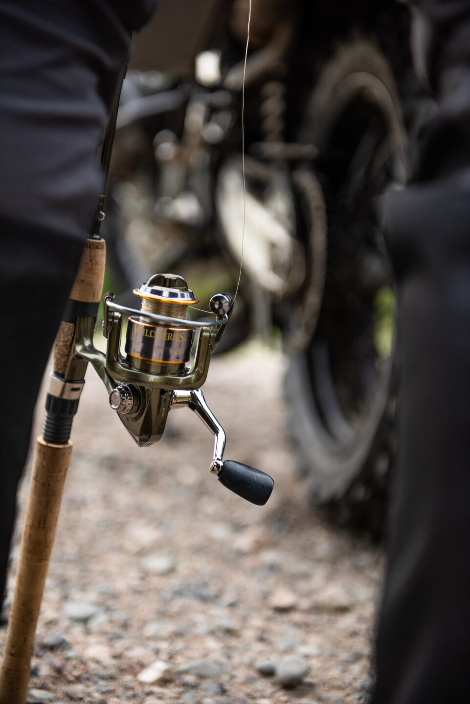
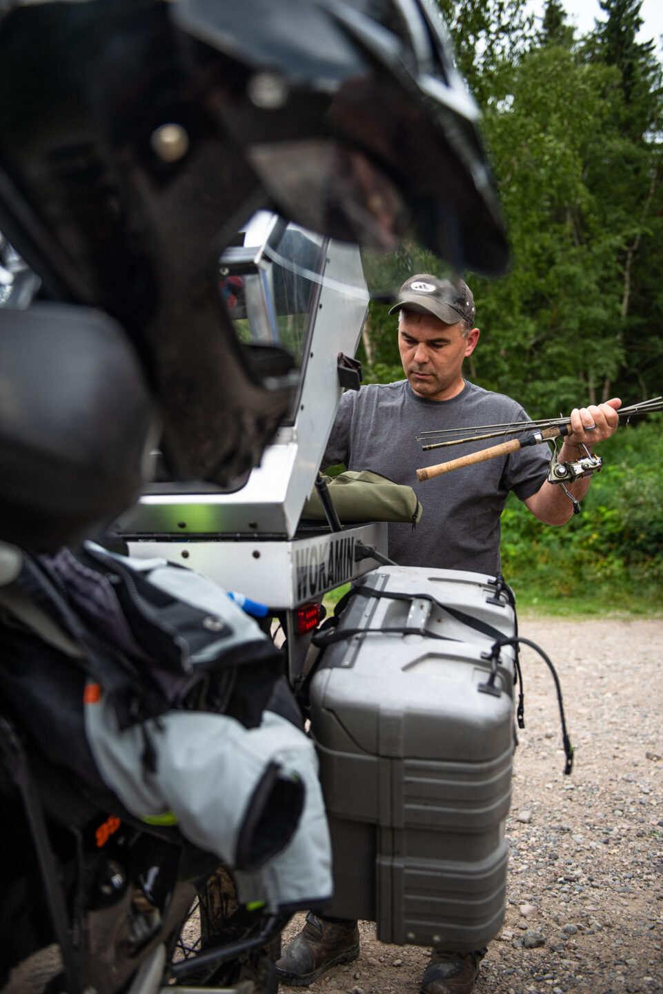
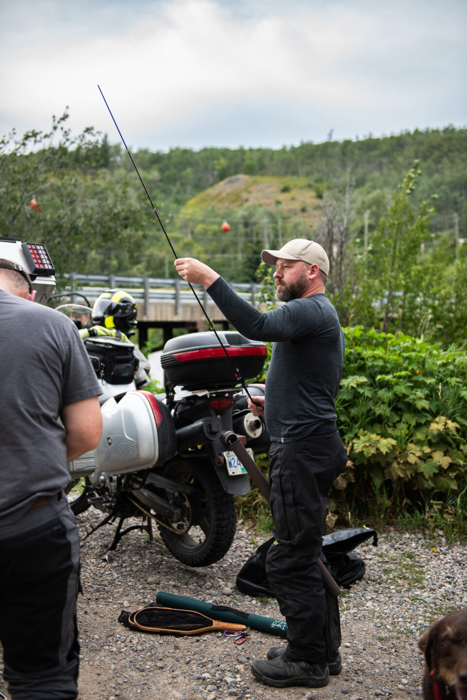
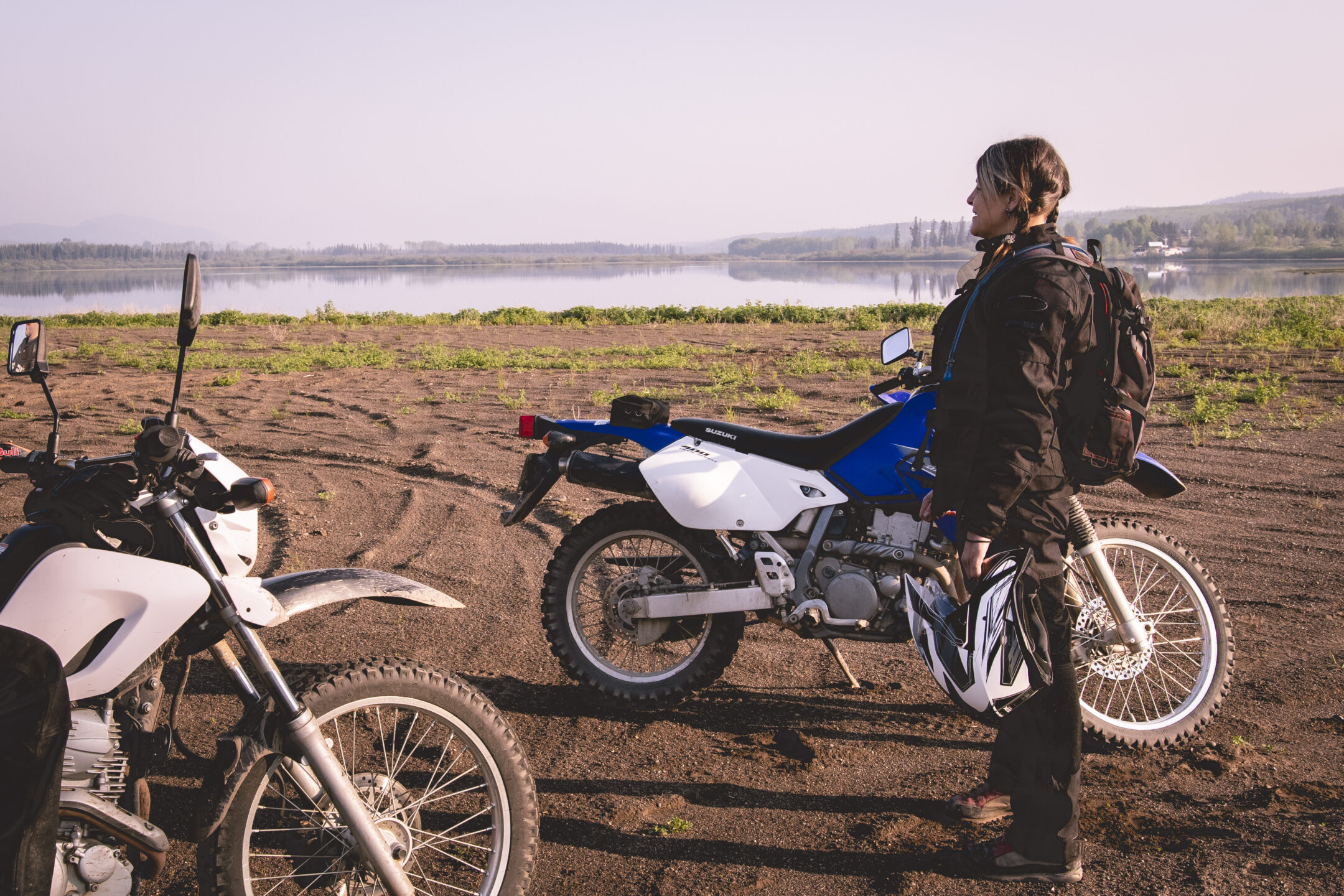
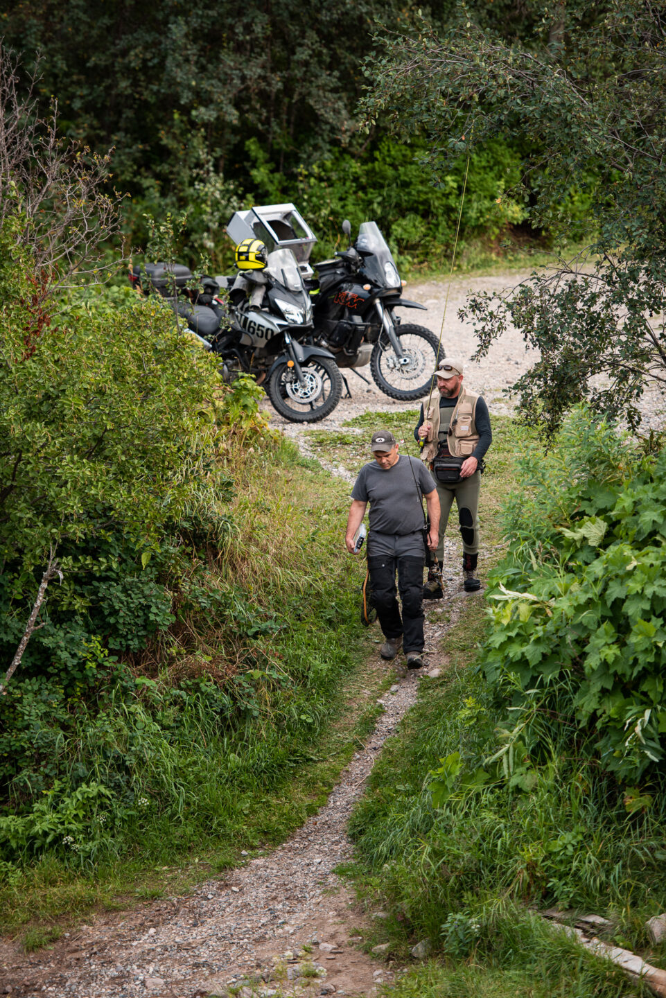
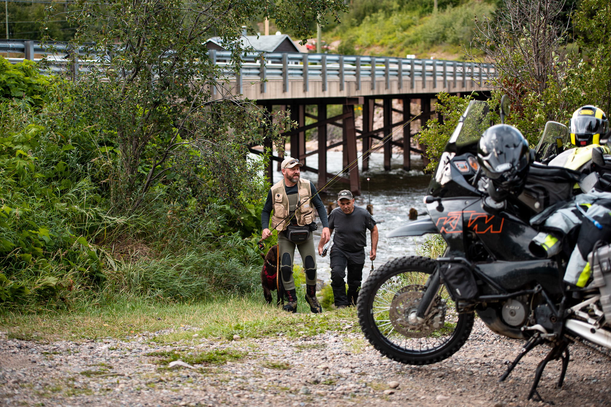
With 3,000 miles of lakes, the region of Burns Lake and the Lakes District offers some of the best fishing and boating in British Columbia. Feel like catching a trophy rainbow? Try Eutsuk or Babine Lake. Like to fly fish? Grab your favourite rod and reel and try Helene or Mackenzie. These same bodies of water are great for boating too. Francois and Ootsa, with their hidden coves and pine-clad islands, are great for day-long and overnight cruises. Burns Lake and its smaller twin, Decker Lake, are perfect for kayaking and water skiing.
Yet the Lakes District is more than just a boating and fishing paradise. The area has much more to offer outdoor enthusiasts. This region has always been popular with big game hunters, who come from all over the world to hunt moose, deer and black bear. Game birds are plentiful and some of the high country areas produce good sized mountain goats.
Hikers and cyclists will also find plenty to keep them busy here. There are more than two dozen trails in the region (many of them only minutes from downtown Burns Lake), and the Boer Mountain Recreation Area has world-class bike trails for riders of all skill levels.
There’s no shortage of camping available, either. Individuals who prefer well-established, easily accessible sites will find them along Tchesinkut, Babine, Francois, Uncha, and Takysie lakes.
Looking for something a bit more secluded? If it’s true wilderness you seek, look no further than Tweedsmuir Park, one of the largest protected areas in British Columbia. Accessible only by boat, helicopter, or float plane, it boasts crystal clear lakes, thundering waterfalls, and snow-capped mountains.
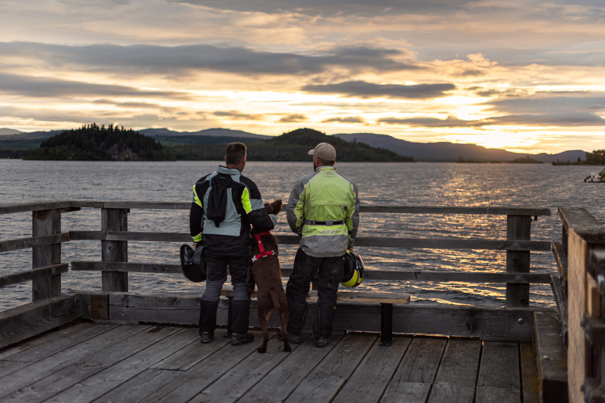
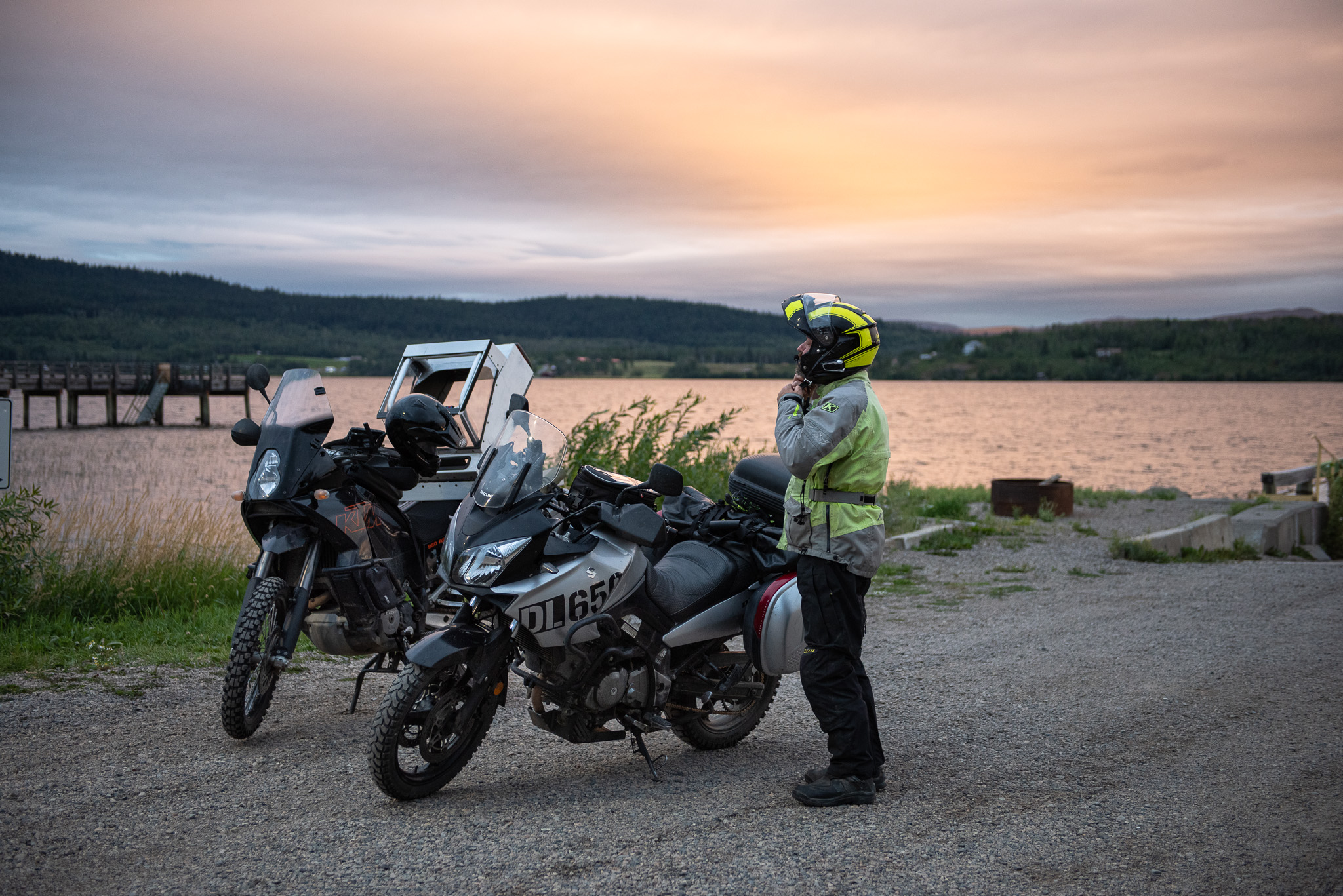
Artists and photographers will also find more than enough subject matter in the Lakes District. Sunsets and sunrises are often stunning here, and the wildlife plentiful. Take the free ferry across Francois Lake to the Southside, where pastoral scenes abound; travel a bit farther south to Ootsa Lake and see the craggy face of Mount Wells. Set up an easel almost anywhere, and you’ll find something worth sketching.
 BC Parks along Route 16
 Know Before You Go
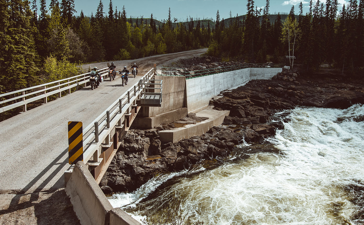 Prince George to Cheslatta Falls